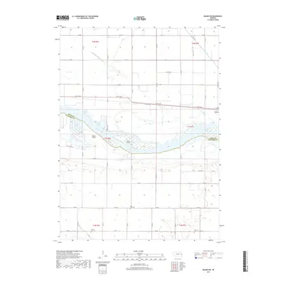
2017 Map of Malmo NW
USGS Topo · Published 2017About this map
The Platte River corridor dominates this landscape near the Dodge and Saunders county line, revealing a complex network of braided channels and riparian islands like Pole Island and Bobkies Island. The small settlement of Ames sits near the river's northern banks, situated within a topography defined by significant water management features, including the Central Cutoff Ditch, Fremont Cutoff Ditch, and Ames Cutoff Ditch. These drainage systems reflect the agricultural priorities of the Nebraska plains, designed to control the flow of the Platte and its tributaries such as Sand Cr. Numerous oxbow lakes, including Scotts Lake, Wolf Lakes, and Eason Lake, mark the river's historic shifts. For genealogists and local historians, the map identifies specific rural landmarks such as Saint Marys Cem, Fleming Cem, and Johannes Cem, which provide anchor points for family histories in the surrounding townships.
Find a feature on this map
32 named features on this map. Tap any name to fly to it.
Don’t see what you’re looking for? This feature index may not catch every label — zoom into the map to look around manually.
Map Details
Editions of this 2017 Malmo NW Map
This is the sole edition of this map. No revisions or reprints were ever made.
Other maps of this area

1899 · Wahoo
USGS Topo · 1:125,000

1955 · Fremont
USGS Topo · 1:250,000

1957 · Fremont
USGS Topo · 1:250,000

1958 · Fremont
USGS Topo · 1:250,000

1966 · Scribner SW
USGS Topo · 1:24,000

1966 · Webster
USGS Topo · 1:24,000

1966 · Hooper
USGS Topo · 1:24,000
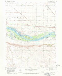
1968 · Malmo NW
USGS Topo · 1:24,000
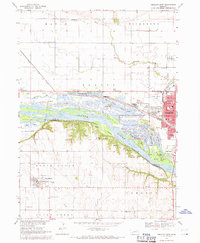
1968 · Fremont West
USGS Topo · 1:24,000
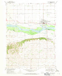
1968 · North Bend
USGS Topo · 1:24,000