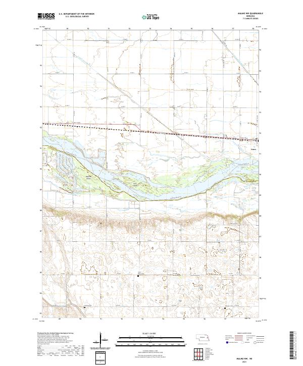
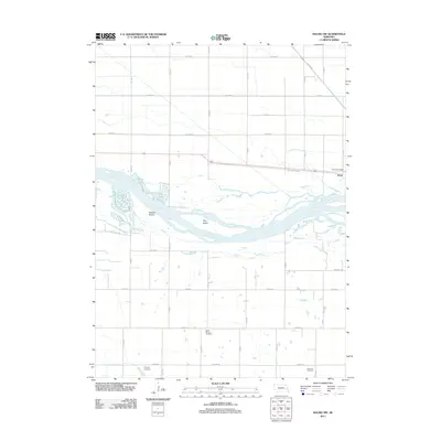
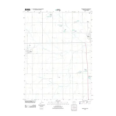
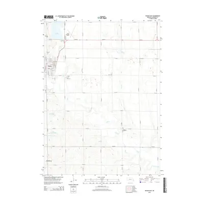
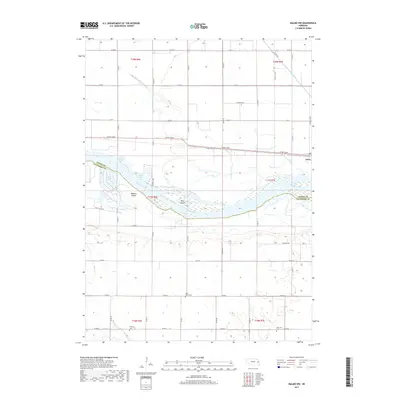
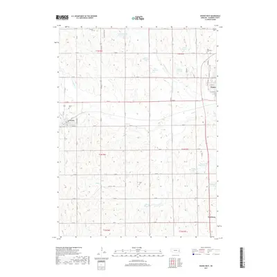
2021 Map of Malmo NW
USGS Topo · Published 2021About this map
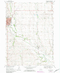
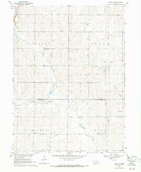
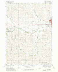
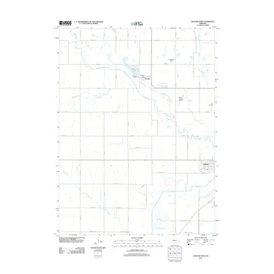
The Platte River defines this landscape along the border of Saunders and Dodge counties, creating a complex network of sandbars and islands such as Bobkies Island and Pole Island. This modern survey highlights a region shaped by agricultural water management, evidenced by the Central Cutoff Ditch, Fremont Cutoff Ditch, and Ames Cutoff Ditch that crisscross the northern lowlands. Near the settlement of Ames, traces of early transcontinental travel persist along the Old Lincoln Hwy. Local history and genealogy are preserved in rural cemetery sites scattered across the township grid, including Saint Marys Cem and Fleming Cem. Further south, the Fremont Bluffs Trl follows the river's edge, while oxbow features like Scotts Lake and Legges Lake mark the river's historical shifts through the valley floor.
Find a feature on this map
46 named features on this map. Tap any name to fly to it.
Don’t see what you’re looking for? This feature index may not catch every label — zoom into the map to look around manually.
Map Details
Editions of this 2021 Malmo NW Map
This is the sole edition of this map. No revisions or reprints were ever made.
Historical Maps of Ames Through Time
30 maps found
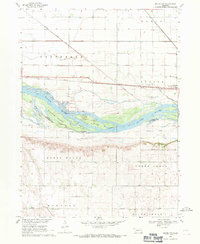
1968 Malmo NW
Saunders County, NE
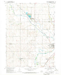
1969 Ashland West
Saunders County, NE
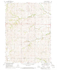
1969 Touhy
Saunders County, NE
1969 Wahoo East
Saunders County, NE
1969 Wahoo SE
Saunders County, NE
1969 Wahoo West
Saunders County, NE
2011 Ashland West
Saunders County, NE
2011 Malmo NW
Saunders County, NE
2011 Touhy
Saunders County, NE
2011 Wahoo East
Saunders County, NE
2011 Wahoo SE
Saunders County, NE
2011 Wahoo West
Saunders County, NE
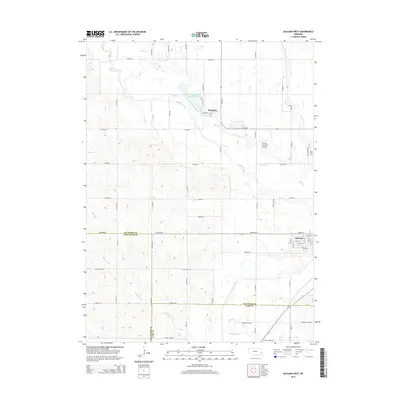
2014 Ashland West
Saunders County, NE
2014 Malmo NW
Saunders County, NE
2014 Touhy
Saunders County, NE
2014 Wahoo East
Saunders County, NE
2014 Wahoo SE
Saunders County, NE
2014 Wahoo West
Saunders County, NE
2017 Ashland West
Saunders County, NE
2017 Malmo NW
Saunders County, NE
2017 Touhy
Saunders County, NE
2017 Wahoo East
Saunders County, NE
2017 Wahoo SE
Saunders County, NE
2017 Wahoo West
Saunders County, NE
2021 Ashland West
Saunders County, NE
2021 Malmo NW
Saunders County, NE
2021 Touhy
Saunders County, NE
2021 Wahoo East
Saunders County, NE

2021 Wahoo SE
Saunders County, NE
2021 Wahoo West
Saunders County, NE