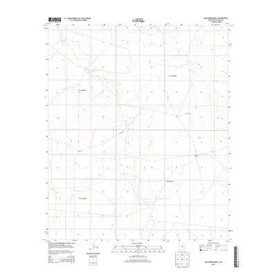
2013 Map of Malstrom Ranch
USGS Topo · Published 2013About this map
Malstrom Ranch serves as the primary landmark in this Chaves County landscape, where the survival of livestock depends on a network of strategically placed water catchments. The terrain is defined by dry watercourses like Loco Draw and Long Arroyo, which channel seasonal runoff through the ranchlands. Local ranchers utilize numerous tanks, including Rose Bowl Tank, Lake Tank, and Douthett Tank, to support operations across several townships. This USGS survey highlights the sparse infrastructure of the high plains, showing how Co Road 104 and Co Road 103 provide the essential transit corridors between remote holdings such as Devil Tank and Loco Tank.
Find a feature on this map
16 named features on this map. Tap any name to fly to it.
Don’t see what you’re looking for? This feature index may not catch every label — zoom into the map to look around manually.
Map Details
Editions of this 2013 Malstrom Ranch Map
This is the sole edition of this map. No revisions or reprints were ever made.
Other maps of this area

1949 · Sardine Mountain
USGS Topo · 1:24,000

1949 · Wade Ranch
USGS Topo · 1:24,000

1949 · Malstrom Ranch
USGS Topo · 1:24,000

1949 · L-E Ranch
USGS Topo · 1:24,000

1952 · Connor Well
USGS Topo · 1:24,000

1952 · Bar C Bar Ranch
USGS Topo · 1:24,000

1954 · Brownfield
USGS Topo · 1:250,000

1955 · Roswell
USGS Topo · 1:250,000

1958 · Brownfield
USGS Topo · 1:250,000

1958 · Roswell
USGS Topo · 1:250,000