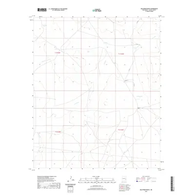
2020 Map of Malstrom Ranch
USGS Topo · Published 2020About this map
Malstrom Ranch serves as the primary landmark in this section of Chaves County, illustrating the persistence of large-scale ranching operations in the arid New Mexico landscape. The territory is defined by a sophisticated system of water management features essential for livestock, including Rose Bowl Tank, Draw Tank, and Douthett Tank. These artificial water sources are strategically positioned near natural drainage patterns such as Loco Draw and the E Fork Long Arroyo.
Find a feature on this map
18 named features on this map. Tap any name to fly to it.
Don’t see what you’re looking for? This feature index may not catch every label — zoom into the map to look around manually.
Map Details
Editions of this 2020 Malstrom Ranch Map
This is the sole edition of this map. No revisions or reprints were ever made.
Other maps of this area

1949 · Sardine Mountain
USGS Topo · 1:24,000

1949 · Wade Ranch
USGS Topo · 1:24,000

1949 · Malstrom Ranch
USGS Topo · 1:24,000

1949 · L-E Ranch
USGS Topo · 1:24,000

1952 · Connor Well
USGS Topo · 1:24,000

1952 · Bar C Bar Ranch
USGS Topo · 1:24,000

1954 · Brownfield
USGS Topo · 1:250,000

1955 · Roswell
USGS Topo · 1:250,000

1958 · Brownfield
USGS Topo · 1:250,000

1958 · Roswell
USGS Topo · 1:250,000