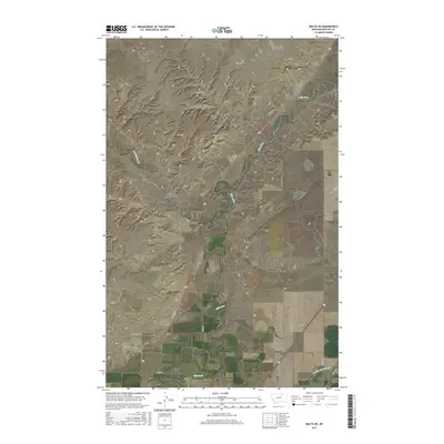
2017 Map of Malta NE
USGS Topo · Published 2017About this map
The Milk River meanders across this northern Montana landscape, defining a wide alluvial valley flanked by a complex system of drainage coulees. Water management infrastructure is prominent in the region, evidenced by the Dodson South Canal and several significant crossings like the Assiniboine Creek Bridge and the Circle Diamond Coulee Bridge. These structures provide critical links across the often-dry tributaries that feed into the main river channel during seasonal runoff.
Find a feature on this map
21 named features on this map. Tap any name to fly to it.
Don’t see what you’re looking for? This feature index may not catch every label — zoom into the map to look around manually.
Map Details
Editions of this 2017 Malta NE Map
This is the sole edition of this map. No revisions or reprints were ever made.
Other maps of this area

1905 · Bowdoin
USGS Topo · 1:62,500

1920 · Cowan
USGS Topo · 1:125,000

1954 · Glasgow
USGS Topo · 1:250,000

1957 · Glasgow
USGS Topo · 1:250,000

1958 · Glasgow
USGS Topo · 1:250,000

1968 · Malta West
USGS Topo · 1:24,000
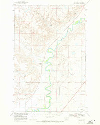
1968 · Malta NE
USGS Topo · 1:24,000

1968 · Hewitt Lake SW
USGS Topo · 1:24,000

1968 · Malta East
USGS Topo · 1:24,000
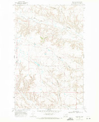
1968 · Malta NW
USGS Topo · 1:24,000