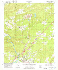
1978 Map of Malvern North
USGS Topo · Published 1979About this map
The Ouachita River winds through this landscape, anchoring the historical development of Malvern and Rockport. The industrial character of the late 1970s is evident in the heavy concentration of extractive sites, including extensive Gravel Pits, Quarries, and a substantial Mine complex near Lucinda Lake. These operations, supported by the Chicago Rock Island and Pacific railroad, reflect a region defined by its geological resources.
Find a feature on this map
55 named features on this map. Tap any name to fly to it.
Don’t see what you’re looking for? This feature index may not catch every label — zoom into the map to look around manually.
Map Details
Editions of this 1978 Malvern North Map
2 editions found
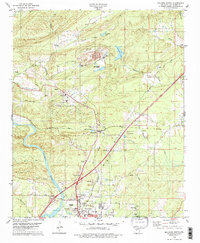
Other maps of this area

1890 · Benton
USGS Topo · 1:125,000

1894 · Benton
USGS Topo · 1:125,000

1938 · Benton
USGS Topo · 1:48,000

1944 · Benton
USGS Topo · 1:62,500

1948 · Malvern
USGS Topo · 1:62,500

1949 · Malvern
USGS Topo · 1:62,500

1955 · Little Rock
USGS Topo · 1:250,000

1956 · Little Rock
USGS Topo · 1:250,000

1960 · Little Rock
USGS Topo · 1:250,000

1963 · Traskwood
USGS Topo · 1:24,000