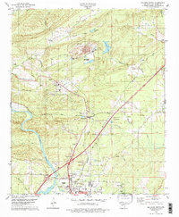
1978 Map of Malvern North
USGS Topo · Published 1979About this map
The Quachita River winds past the northern edges of Malvern and the historic settlement of Rockport, where the landscape transitions from industrial valley floor to the ridges of the Ouachita Mountains. The 1970s economy is clearly visible through extensive mining operations, including a large Mine with associated tailings and waste disposal ponds near Magnet, along with numerous quarries and gravel pits following the river and rail corridors. Transportation networks define the area's growth, anchored by the Chicago Rock Island and Pacific railroad and the Old Military Road. For the local historian, the map provides precise locations for community centers such as Magnet Cove Ch, Cooper Cem, and the Fish Hatchery, illustrating a rural landscape where industry and traditional settlements coexist along the winding creeks and hollows of Hot Spring County.
Find a feature on this map
56 named features on this map. Tap any name to fly to it.
Don’t see what you’re looking for? This feature index may not catch every label — zoom into the map to look around manually.
Map Details
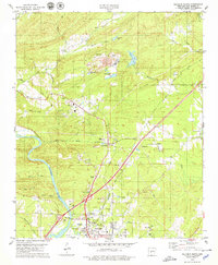
Editions of this 1978 Malvern North Map
2 editions found
Other maps of this area

1890 · Benton
USGS Topo · 1:125,000

1894 · Benton
USGS Topo · 1:125,000

1938 · Benton
USGS Topo · 1:48,000

1944 · Benton
USGS Topo · 1:62,500

1948 · Malvern
USGS Topo · 1:62,500

1949 · Malvern
USGS Topo · 1:62,500

1955 · Little Rock
USGS Topo · 1:250,000

1956 · Little Rock
USGS Topo · 1:250,000

1960 · Little Rock
USGS Topo · 1:250,000

1963 · Traskwood
USGS Topo · 1:24,000