
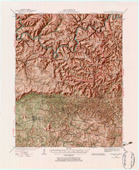
1922 Map of Mammoth Cave
USGS Topo · Published 1957About this map
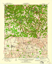
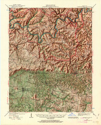
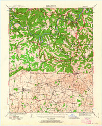
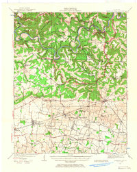
Green River and the Nolin River wind through a landscape defined by deep karst features and ancient subterranean passages in the early 1920s. This survey, conducted by C.W. Goodlove and others, details the surface topography above some of the world's most famous cave systems, including Great Onyx Cave, Crystal Cave, and Colossal Cave. The area is a transition between the karst uplands of Mammoth Cave National Park and the flatter agricultural lands near Smiths Grove and Oakland to the south.
Find a feature on this map
90 named features on this map. Tap any name to fly to it.
Don’t see what you’re looking for? This feature index may not catch every label — zoom into the map to look around manually.
Map Details
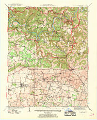
Editions of this 1922 Mammoth Cave Map
7 editions found
Other maps of this area

1921 · Bowling Green
USGS Topo · 1:62,500

1922 · Leitchfield
USGS Topo · 1:48,000

1922 · Brownsville
USGS Topo · 1:62,500

1923 · Bowling Green
USGS Topo · 1:62,500

1923 · Mammoth Cave
USGS Topo · 1:62,500

1923 · Brownsville
USGS Topo · 1:62,500

1925 · Cub Run
USGS Topo · 1:62,500

1925 · Leitchfield
USGS Topo · 1:62,500

1926 · Scottsville
USGS Topo · 1:62,500

1934 · Munfordville
USGS Topo · 1:48,000