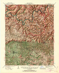
1922 Map of Mammoth Cave
USGS Topo · Published 1963About this map
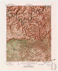
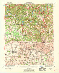
The Green River and Nolin River wind through a complex karst landscape during the early 1920s, a period when this region was transitioning toward its eventual national park status. The map highlights the concentration of subterranean landmarks such as Mammoth Cave, Colossal Cave, and Great Onyx Cave, while the surface is defined by a dense network of one-room schoolhouses like Sand Spring School and Stockholm School. Transportation relies heavily on the river, with numerous crossings including Houchins Ferry, Sanders Ferry, and Mouth of Buffalo Ferry.
Find a feature on this map
96 named features on this map. Tap any name to fly to it.
Don’t see what you’re looking for? This feature index may not catch every label — zoom into the map to look around manually.
Map Details
Editions of this 1922 Mammoth Cave Map
7 editions found
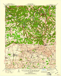
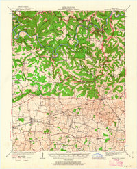
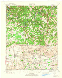
Other maps of this area

1921 · Bowling Green
USGS Topo · 1:62,500

1922 · Leitchfield
USGS Topo · 1:48,000

1922 · Brownsville
USGS Topo · 1:62,500

1922 · Mammoth Cave
USGS Topo · 1:62,500

1923 · Bowling Green
USGS Topo · 1:62,500

1923 · Mammoth Cave
USGS Topo · 1:62,500

1923 · Brownsville
USGS Topo · 1:62,500

1925 · Cub Run
USGS Topo · 1:62,500

1925 · Leitchfield
USGS Topo · 1:62,500

1926 · Scottsville
USGS Topo · 1:62,500