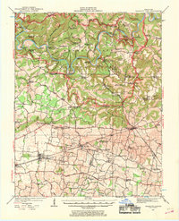
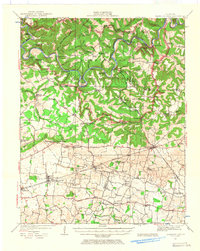
1922 Map of Mammoth Cave
USGS Topo · Published 1969About this map
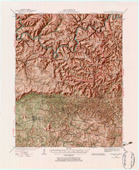
Green River and Nolin River wind through the northern terrain of this 1920s survey, defining a landscape where river transport and karst geology shaped local life. A network of historic crossings like Houchins Ferry, Fishtrap Ferry, and Dennison Ferry provided essential passage before the development of modern bridges. The subterranean world is prominent, with major landmarks such as Mammoth Cave, Colossal Cave, and the New Entrance Mammoth Cave clearly marked alongside local terrain features like Cedar Sink and Monroe Sink.
Find a feature on this map
91 named features on this map. Tap any name to fly to it.
Don’t see what you’re looking for? This feature index may not catch every label — zoom into the map to look around manually.
Map Details
Editions of this 1922 Mammoth Cave Map
7 editions found
Other maps of this area

1921 · Bowling Green
USGS Topo · 1:62,500

1922 · Leitchfield
USGS Topo · 1:48,000

1922 · Brownsville
USGS Topo · 1:62,500

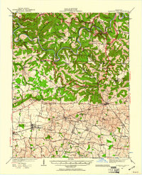
1922 · Mammoth Cave
USGS Topo · 1:62,500

1923 · Bowling Green
USGS Topo · 1:62,500

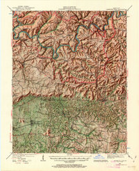
1923 · Mammoth Cave
USGS Topo · 1:62,500

1923 · Brownsville
USGS Topo · 1:62,500

1925 · Cub Run
USGS Topo · 1:62,500

1925 · Leitchfield
USGS Topo · 1:62,500

1926 · Scottsville
USGS Topo · 1:62,500