
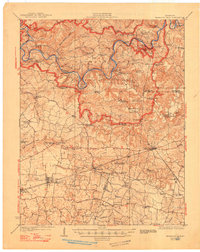
1923 Map of Mammoth Cave
USGS Topo · Published 1923About this map
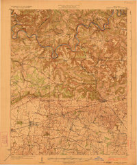
Mammoth Cave and the intricate subterranean networks of Great Onyx Cave and Great Crystal Cave anchor this 1920s topography of central Kentucky. The Green River and Nolin River wind deeply through the terrain, bridged only by numerous historic river crossings such as Houchins Ferry, Demunbrun Ferry, and Fishtrap Ferry. This period map reveals a landscape defined by sinkholes and hollows, where small settlements like Cade and Ollie are connected by a web of rural schools and churches. To the south, the Louisville and Nashville RR cuts across the flatter limestone plains, supporting the growth of Glasgow Junction and Smiths Grove. Genealogists will find a wealth of specific landmarks, from Good Spring Church to the Shively School, providing a detailed view of the rural social structure before the creation of the national park changed the local settlement patterns forever.
Find a feature on this map
94 named features on this map. Tap any name to fly to it.
Don’t see what you’re looking for? This feature index may not catch every label — zoom into the map to look around manually.
Map Details
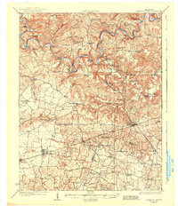
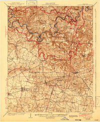
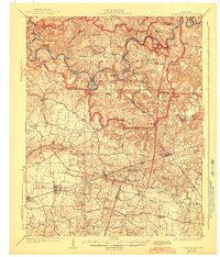
Editions of this 1923 Mammoth Cave Map
6 editions found
Other maps of this area

1921 · Bowling Green
USGS Topo · 1:62,500

1922 · Leitchfield
USGS Topo · 1:48,000

1922 · Brownsville
USGS Topo · 1:62,500

1922 · Mammoth Cave
USGS Topo · 1:62,500

1923 · Bowling Green
USGS Topo · 1:62,500

1923 · Brownsville
USGS Topo · 1:62,500

1925 · Cub Run
USGS Topo · 1:62,500

1925 · Leitchfield
USGS Topo · 1:62,500

1926 · Scottsville
USGS Topo · 1:62,500

1934 · Munfordville
USGS Topo · 1:48,000