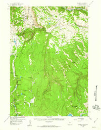
1958 Map of Mammoth
USGS Topo · Published 1960About this map
Mammoth serves as a primary hub within the northwestern corner of Yellowstone National Park on this 1950s-era survey. The area's complex geothermal and geologic history is clearly visible, from the terraces of Mammoth Hot Springs to the impressive Obsidian Cliff. Evidence of early park infrastructure and visitor management appears through labels for the Patrol Cabin, Indian Creek Campground, and the Lava Creek Campgrounds. High-elevation landmarks like Bunsen Peak and Mount Everts tower over the Gardner River, while dramatic water features such as Wraith Falls and Undine Falls highlight the drainage patterns toward the Black Canyon of the Yellowstone. In the southern portion of the quadrangle, geothermal activity remains prominent near Roaring Mountain and the Steam Vents by Lemonade Lake, illustrating the park's dynamic landscape before more modern developments altered its periphery.
Find a feature on this map
83 named features on this map. Tap any name to fly to it.
Don’t see what you’re looking for? This feature index may not catch every label — zoom into the map to look around manually.
Map Details
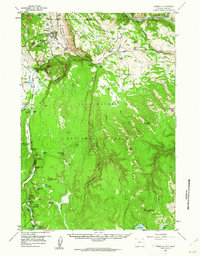
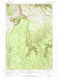
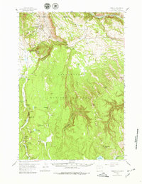
Editions of this 1958 Mammoth Map
4 editions found
Other maps of this area

1885 · Gallatin
USGS Topo · 1:125,000

1885 · Gallatin
USGS Topo · 1:125,000

1886 · Canyon
USGS Topo · 1:125,000

1891 · Livingston
USGS Topo · 1:250,000

1893 · Livingston
USGS Topo · 1:250,000

1895 · Canyon
USGS Topo · 1:125,000

1896 · Canyon
USGS Topo · 1:125,000

1901 · Canyon
USGS Topo · 1:125,000

1901 · Gallatin
USGS Topo · 1:125,000

1907 · Canyon
USGS Topo · 1:125,000