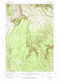
1958 Map of Mammoth
USGS Topo · Published 1979About this map
Mammoth serves as the focal point for this 1958 field study, revealing the dense concentration of hydrothermal activity and early park infrastructure near the northern boundary of Yellowstone National Park. The landscape is dominated by the massive Mount Everts and the winding Gardner River, which cuts through the northern terrain. The map illustrates a transitional period in park management and tourism, showing the Grand Loop Road and established sites like the Lava Creek Campgrounds and Indian Creek Campground.
Find a feature on this map
80 named features on this map. Tap any name to fly to it.
Don’t see what you’re looking for? This feature index may not catch every label — zoom into the map to look around manually.
Map Details
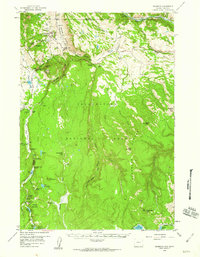
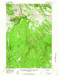
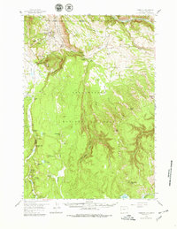
Editions of this 1958 Mammoth Map
4 editions found
Other maps of this area

1885 · Gallatin
USGS Topo · 1:125,000

1885 · Gallatin
USGS Topo · 1:125,000

1886 · Canyon
USGS Topo · 1:125,000

1891 · Livingston
USGS Topo · 1:250,000

1893 · Livingston
USGS Topo · 1:250,000

1895 · Canyon
USGS Topo · 1:125,000

1896 · Canyon
USGS Topo · 1:125,000

1901 · Canyon
USGS Topo · 1:125,000

1901 · Gallatin
USGS Topo · 1:125,000

1907 · Canyon
USGS Topo · 1:125,000