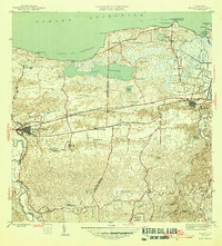
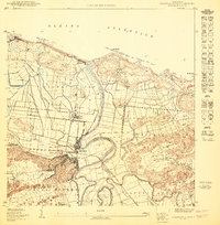
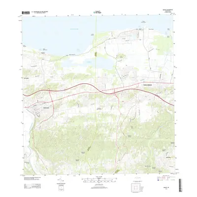
1946 Map of Manati
USGS Topo · Published 1946This historical map portrays the area of Manati in 1946, primarily covering Manatí Municipio as well as portions of Vega Baja Municipio and Morovis Municipio. Featuring a scale of 1:30,000, this map provides a highly detailed snapshot of the terrain, roads, buildings, counties, and historical landmarks in the Manati region at the time. Published in 1946, it is one of 3 known editions of this map due to revisions or reprints.
Find a feature on this map
50 named features on this map. Tap any name to fly to it.
Don’t see what you’re looking for? This feature index may not catch every label — zoom into the map to look around manually.
Map Details
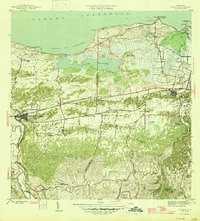
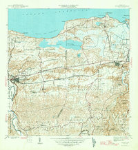
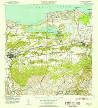
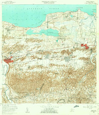
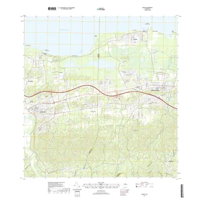
Editions of this 1946 Manati Map
3 editions found
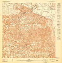
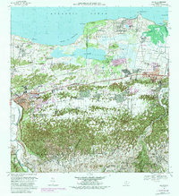
Historical Maps of Vega Baja Through Time
10 maps found

1942 Manati
Manatí Municipio, PR
1946 Manati
Manatí Municipio, PR
1947 Barceloneta SE
Manatí Municipio, PR
1950 Barceloneta NE
Manatí Municipio, PR
1953 Manati
Manatí Municipio, PR
1958 Manati
Manatí Municipio, PR
1969 Manati
Manatí Municipio, PR
2013 Manati
Manatí Municipio, PR
2018 Manati
Manatí Municipio, PR
2024 Manati
Manatí Municipio, PR
Featured Locations
- Sector Los Arenas, Vega Baja
- Vega Baja, Vega Baja
- Sabana Seca, Manatí
- Manatí, Manatí
- Reparto Guayaney, Manatí