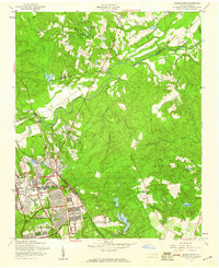
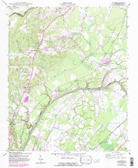
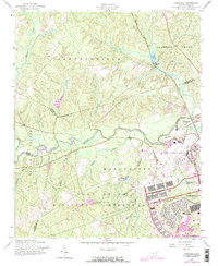
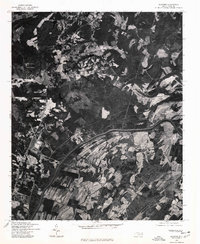
1957 Map of Manchester
USGS Topo · Published 1960This historical map portrays the area of Manchester in 1957, primarily covering Cumberland County as well as portions of Harnett County. Featuring a scale of 1:24000, this map provides a highly detailed snapshot of the terrain, roads, buildings, counties, and historical landmarks in the Manchester region at the time. Published in 1960, it is one of 4 known editions of this map due to revisions or reprints.
Find a feature on this map
36 named features on this map. Tap any name to fly to it.
Don’t see what you’re looking for? This feature index may not catch every label — zoom into the map to look around manually.
Map Details
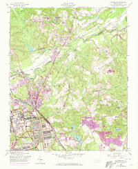
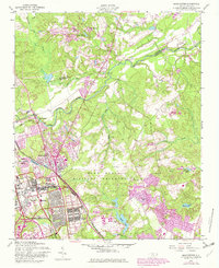
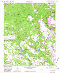
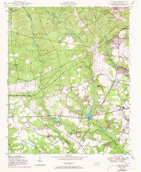
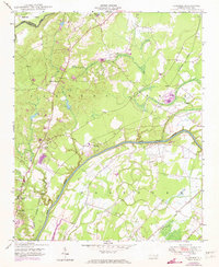
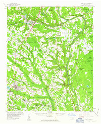
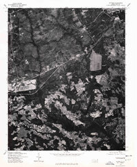
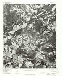
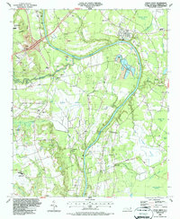
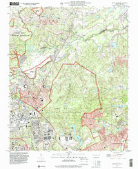
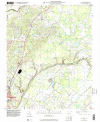
Editions of this 1957 Manchester Map
4 editions found
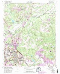
Historical Maps of Normandy/Bastogne Gables Through Time
14 maps found
1948 Clifdale
Cumberland County, NC
1948 Slocomb
Cumberland County, NC
1950 Clifdale
Cumberland County, NC

1950 Manchester
Cumberland County, NC
1950 Slocomb
Cumberland County, NC
1957 Manchester
Cumberland County, NC
1957 Overhills
Cumberland County, NC
1959 Saint Pauls
Cumberland County, NC
1976 Clifdale
Cumberland County, NC
1976 Manchester
Cumberland County, NC
1976 Slocomb
Cumberland County, NC
1986 Cedar Creek
Cumberland County, NC
1997 Manchester
Cumberland County, NC
1997 Slocomb
Cumberland County, NC
Featured Locations
- Pope Field, NC
- Spring Lake, NC
- Fayetteville, NC
- Woodbridge, NC
- Corregidor Courts/Bouganville, Fort Liberty