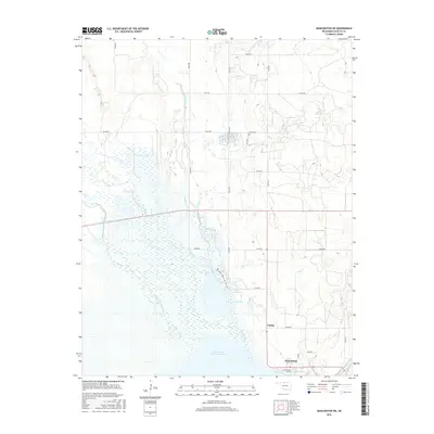
2016 Map of Manchester SW
USGS Topo · Published 2016About this map
Great Salt Plains Reservoir dominates the southern landscape of this Alfalfa County region, where the Salt Fork Arkansas River feeds into the expansive wetland and water complex. The settlement of Nescatunga sits near the reservoir's eastern edge, serving as a gateway to the shoreline along Lakeview Dr. Further north, the small community of Vining is positioned along State Highway 38, marking a transition from the riparian lowlands to the structured section-line roads of Oklahoma's agricultural plains.
Find a feature on this map
30 named features on this map. Tap any name to fly to it.
Don’t see what you’re looking for? This feature index may not catch every label — zoom into the map to look around manually.
Map Details
Editions of this 2016 Manchester SW Map
This is the sole edition of this map. No revisions or reprints were ever made.
Other maps of this area

1955 · Woodward
USGS Topo · 1:250,000

1958 · Woodward
USGS Topo · 1:250,000

1969 · Jet
USGS Topo · 1:24,000

1969 · Amorita
USGS Topo · 1:24,000
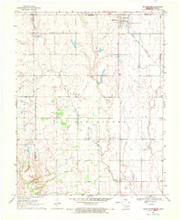
1969 · Manchester
USGS Topo · 1:24,000

1969 · Nash
USGS Topo · 1:24,000
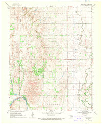
1969 · Sand Creek
USGS Topo · 1:24,000

1969 · Manchester SW
USGS Topo · 1:24,000
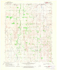
1969 · Manchester NW
USGS Topo · 1:24,000

1969 · Cherokee North
USGS Topo · 1:24,000