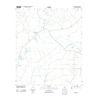
2012 Map of Manifest
USGS Topo · Published 2012About this map
Manifest and Webb serve as the primary focal points of this Catahoula Parish landscape, where the petroleum industry and local history are deeply intertwined. The geography is defined by extensive energy development, with the Manifest Oil Field, Craig Bayou Oil Field, Birds Creek Oil Field, and Sandy Lake Oil Field indicating the region's economic reliance on natural resources. Numerous family and community burial grounds, including Heard Cem, Huffman Cem, and Girlinghouse Cem, are situated near these settlements and industrial zones, providing essential landmarks for genealogists and local historians tracking family lineages in the area.
Find a feature on this map
63 named features on this map. Tap any name to fly to it.
Don’t see what you’re looking for? This feature index may not catch every label — zoom into the map to look around manually.
Map Details
Editions of this 2012 Manifest Map
This is the sole edition of this map. No revisions or reprints were ever made.
Other maps of this area

1941 · Manifest
USGS Topo · 1:62,500

1941 · Jena
USGS Topo · 1:62,500

1941 · Harrisonburg
USGS Topo · 1:62,500

1953 · Alexandria
USGS Topo · 1:250,000

1953 · Natchez
USGS Topo · 1:250,000

1955 · Alexandria
USGS Topo · 1:250,000

1955 · Olla
USGS Topo · 1:62,500

1956 · Natchez
USGS Topo · 1:250,000

1958 · Jena
USGS Topo · 1:62,500

1959 · Natchez
USGS Topo · 1:250,000