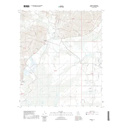
2018 Map of Manifest
USGS Topo · Published 2018About this map
Manifest sits at the heart of a complex Catahoula Parish landscape where the piney uplands transition into the expansive bottomlands of the Ouachita River basin. The terrain is defined by an intricate network of waterways, including Salem Creek and Bushley Creek, which feed into numerous oxbows and backwaters like Rhinehart Lake and Sandy Lake. This topography shaped the historical development of the region, visible here in the scattered family and community burial grounds that dot the higher ground, such as Heard Cem and the Girlinghouse Cem.
Find a feature on this map
66 named features on this map. Tap any name to fly to it.
Don’t see what you’re looking for? This feature index may not catch every label — zoom into the map to look around manually.
Map Details
Editions of this 2018 Manifest Map
This is the sole edition of this map. No revisions or reprints were ever made.
Other maps of this area

1941 · Manifest
USGS Topo · 1:62,500

1941 · Jena
USGS Topo · 1:62,500

1941 · Harrisonburg
USGS Topo · 1:62,500

1953 · Alexandria
USGS Topo · 1:250,000

1953 · Natchez
USGS Topo · 1:250,000

1955 · Alexandria
USGS Topo · 1:250,000

1955 · Olla
USGS Topo · 1:62,500

1956 · Natchez
USGS Topo · 1:250,000

1958 · Jena
USGS Topo · 1:62,500

1959 · Natchez
USGS Topo · 1:250,000