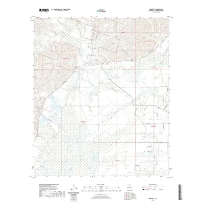
2020 Map of Manifest
USGS Topo · Published 2020About this map
Manifest sits at the center of this Catahoula Parish landscape, where the higher elevations of the north meet the expansive wetlands of the south. The northern portion is characterized by a network of small creeks like Salem Creek and Hawthorne Cr, while the southern half transitions into a watery terrain defined by Elm Slough, Boggy Bayou, and numerous lakes including Round Lake and Long Lake. This transition from hills to bottomlands historically dictated the placement of settlements and transport routes.
Find a feature on this map
60 named features on this map. Tap any name to fly to it.
Don’t see what you’re looking for? This feature index may not catch every label — zoom into the map to look around manually.
Map Details
Editions of this 2020 Manifest Map
This is the sole edition of this map. No revisions or reprints were ever made.
Other maps of this area

1941 · Manifest
USGS Topo · 1:62,500

1941 · Jena
USGS Topo · 1:62,500

1941 · Harrisonburg
USGS Topo · 1:62,500

1953 · Alexandria
USGS Topo · 1:250,000

1953 · Natchez
USGS Topo · 1:250,000

1955 · Alexandria
USGS Topo · 1:250,000

1955 · Olla
USGS Topo · 1:62,500

1956 · Natchez
USGS Topo · 1:250,000

1958 · Jena
USGS Topo · 1:62,500

1959 · Natchez
USGS Topo · 1:250,000