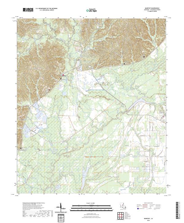
2024 Map of Manifest
USGS Topo · Published 2024About this map
Manifest occupies a central position within this part of Catahoula Parish, situated just north of the expansive Catahoula National Wildlife Refuge. This lowland landscape is defined by an intricate network of waterways, including Bushley Creek, Flat Creek, and Elm Slough, which feed into numerous brake and lake features like Thomas Brake and Fish Lake. The presence of several family-named burial grounds, such as Girlinghouse Cem, Heard Cem, and the Taunton Coleman Cem, points to a long-established rural community pattern where family lineages are tied to specific land tracts.
Find a feature on this map
68 named features on this map. Tap any name to fly to it.
Don’t see what you’re looking for? This feature index may not catch every label — zoom into the map to look around manually.
Map Details
Editions of this 2024 Manifest Map
This is the sole edition of this map. No revisions or reprints were ever made.
Other maps of this area

1941 · Manifest
USGS Topo · 1:62,500

1941 · Jena
USGS Topo · 1:62,500

1941 · Harrisonburg
USGS Topo · 1:62,500

1953 · Alexandria
USGS Topo · 1:250,000

1953 · Natchez
USGS Topo · 1:250,000

1955 · Alexandria
USGS Topo · 1:250,000

1955 · Olla
USGS Topo · 1:62,500

1956 · Natchez
USGS Topo · 1:250,000

1958 · Jena
USGS Topo · 1:62,500

1959 · Natchez
USGS Topo · 1:250,000