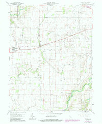
1960 Map of Manilla
USGS Topo · Published 1988About this map
The Little Blue River and Flatrock River define the agricultural landscape of western Rush County in this mid-century survey. Small rural centers like Manilla and Homer serve as the primary hubs, with the latter situated along the Old Railroad Grade that once connected these farming communities. The map reflects a deeply rooted local history, marked by family-named burial grounds such as Sells Cem and Bebout Cem, and community foundations like Township Sch.
Find a feature on this map
36 named features on this map. Tap any name to fly to it.
Don’t see what you’re looking for? This feature index may not catch every label — zoom into the map to look around manually.
Map Details
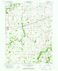
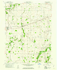
Editions of this 1960 Manilla Map
3 editions found
Other maps of this area

1942 · Columbus
USGS Topo · 1:125,000

1953 · Cincinnati
USGS Topo · 1:250,000

1956 · Morristown
USGS Topo · 1:24,000

1956 · Waldron
USGS Topo · 1:24,000

1956 · Rays Crossing
USGS Topo · 1:24,000

1957 · Cincinnati
USGS Topo · 1:250,000

1959 · Milroy
USGS Topo · 1:24,000

1959 · Rushville
USGS Topo · 1:24,000
1959 · Adams
USGS Topo · 1:24,000

1959 · Mays
USGS Topo · 1:24,000