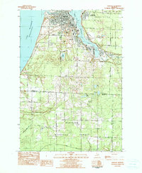
1982 Map of Manistee
USGS Topo · Published 1991About this map
Manistee and its industrial shoreline dominate this 1982 survey, where the Manistee River meets the waters of Lake Michigan. The map illustrates the specialized geography of the region, centered on the deep basin of Manistee Lake where the Chesapeake and Ohio railroad serves the waterfront communities of Filer City and Stronach. This era of development shows a clear distinction between the concentrated urban grid of the city—anchored by landmarks like Trinity Ch and Central High Sch—and the surrounding managed timberlands. To the south and east, the transition into the Manistee National Forest is marked by complex terrain including the Homkohl Swamp and isolated water bodies like Shingle Mill Lake. Genealogists will find value in the precise locations of the Mt Carmel Cem and the more remote Long Lake Cem near the boundary of Manistee Co and Mason Co.
Find a feature on this map
36 named features on this map. Tap any name to fly to it.
Don’t see what you’re looking for? This feature index may not catch every label — zoom into the map to look around manually.
Map Details
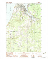
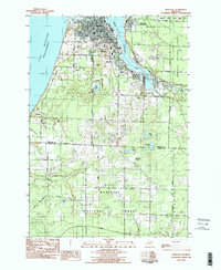
Editions of this 1982 Manistee Map
3 editions found
Other maps of this area

1931 · Manistee SE
USGS Topo · 1:31,680

1931 · Freesoil SW
USGS Topo · 1:31,680

1931 · Manistee SW
USGS Topo · 1:31,680

1954 · Manitowoc
USGS Topo · 1:250,000

1956 · Onekama
USGS Topo · 1:62,500

1956 · Bar Lake
USGS Topo · 1:62,500

1957 · Freesoil
USGS Topo · 1:62,500

1958 · Manitowoc
USGS Topo · 1:250,000

1958 · Manistee
USGS Topo · 1:62,500

1976 · Onekama SW
USGS Topo · 1:24,000