
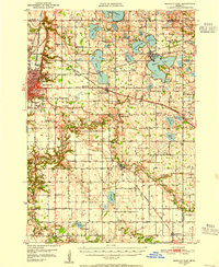
1950 Map of Mankato East
USGS Topo · Published 1950About this map
Agricultural lands and numerous glacial lakes characterize this mid-century survey of the area east of Mankato. The landscape is defined by the winding course of the Le Sueur River and the Cobb River, which navigate a terrain dotted with small rural schools like Sugar Grove Sch and Tivoli Sch. Transportation hubs of the era are clearly marked, including the Chicago and North Western and Chicago Great Western railroads, which served industrial points such as Lime Siding and Fletchers Siding. To the north, the cluster of large water bodies including Lake Washington and Madison Lake shows the region's established role for recreation and local settlement. Educational and religious institutions are prominent landmarks, ranging from the Teachers College and Good Counsel Academy in the west to the country St John Ch in the southern township of Decoria.
Find a feature on this map
84 named features on this map. Tap any name to fly to it.
Don’t see what you’re looking for? This feature index may not catch every label — zoom into the map to look around manually.
Map Details
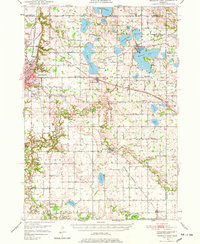
Editions of this 1950 Mankato East Map
3 editions found
Other maps of this area

1951 · Mankato East
USGS Topo · 1:62,500

1951 · Mankato West
USGS Topo · 1:62,500

1953 · Saint Paul
USGS Topo · 1:250,000

1953 · New Ulm
USGS Topo · 1:250,000

1954 · Fairmont
USGS Topo · 1:250,000

1954 · Mason City
USGS Topo · 1:250,000

1957 · New Ulm
USGS Topo · 1:250,000

1957 · Mason City
USGS Topo · 1:250,000

1958 · New Ulm
USGS Topo · 1:250,000

1958 · Mason City
USGS Topo · 1:250,000