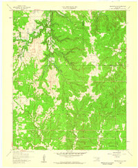
1958 Map of Mannford SE
USGS Topo · Published 1959About this map
Mannford Oil Field and the surrounding timbered hills of Creek and Tulsa Counties are captured here just as the landscape prepared for major hydrological change. This 1958 field survey documents the area shortly before the construction of the Keystone Dam, with dashed blue patterns indicating the sections of Salt Creek and Little Creek destined for inundation by the future Keystone Reservoir. The interior terrain is defined by the Red Fork region, where numerous Oil Wells and a Radio Towers (KRMG) installation reflect the mid-century industrial footprint. To the south, local landmarks such as Dripping Springs Ch and the rural districts of Hazelwood and Kellyville provide essential reference points for genealogists tracing family footprints along Tiger Creek and Browns Creek before the valley's transformation.
Find a feature on this map
17 named features on this map. Tap any name to fly to it.
Don’t see what you’re looking for? This feature index may not catch every label — zoom into the map to look around manually.
Map Details
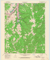
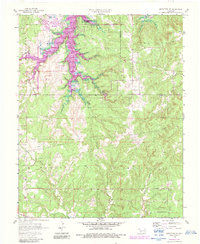
Editions of this 1958 Mannford SE Map
3 editions found
Other maps of this area

1901 · Nuyaka
USGS Topo · 1:125,000

1912 · Hominy
USGS Topo · 1:125,000

1914 · Kiefer
USGS Topo · 1:62,500

1915 · Hominy
USGS Topo · 1:125,000

1916 · Kiefer
USGS Topo · 1:62,500

1916 · Bristow
USGS Topo · 1:62,500

1954 · Oklahoma City
USGS Topo · 1:250,000

1955 · Enid
USGS Topo · 1:250,000

1957 · Oklahoma City
USGS Topo · 1:250,000

1958 · Enid
USGS Topo · 1:250,000