
1973 Map of Manning
USGS Topo · Published 1977About this map
Manning sits at the northern edge of this North Dakota landscape, centered near the confluence where Wolf Creek joins the Knife River. The settlement is clearly defined as a local hub during the early 1970s, featuring its Po, Ch, and a nearby Substa reflecting the modern utility infrastructure of the era. The terrain is defined by the winding paths of several waterways, including the meandering Crooked Creek and Lightning Creek, which cut through the high prairie ground.
Find a feature on this map
11 named features on this map. Tap any name to fly to it.
Don’t see what you’re looking for? This feature index may not catch every label — zoom into the map to look around manually.
Map Details
Editions of this 1973 Manning Map
This is the sole edition of this map. No revisions or reprints were ever made.
Other maps of this area

1953 · Watford City
USGS Topo · 1:250,000

1957 · Watford City
USGS Topo · 1:250,000

1967 · Watford City
USGS Topo · 1:250,000

1973 · Manning SE
USGS Topo · 1:24,000
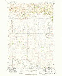
1973 · New Hradec North
USGS Topo · 1:24,000
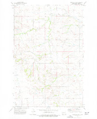
1973 · Hirschville SW
USGS Topo · 1:24,000

1973 · Manning NW
USGS Topo · 1:24,000

1973 · Emerson
USGS Topo · 1:24,000

1973 · Lake Ilo
USGS Topo · 1:24,000

1974 · Killdeer
USGS Topo · 1:100,000