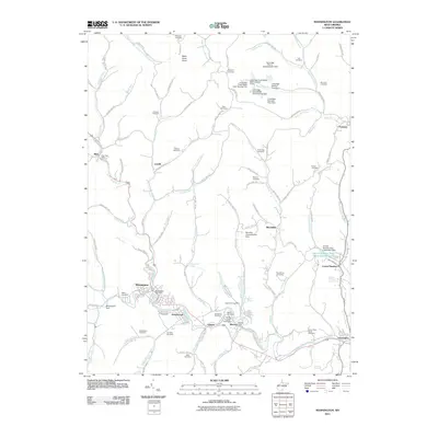
2011 Map of Mannington
USGS Topo · Published 2011About this map
Mannington serves as the central hub of this northern West Virginia survey, where the waters of Buffalo Creek and Mahan Run converge. The landscape is heavily defined by the region's industrial legacy, most notably the operations at Consol Number 9 and the nearby Jamison Number 9 Mine Camp Spring. A complex network of water management features, including the Loveridge Slurry Impoundment Dam and several freshwater dams such as Loveridge Fresh Water Dam Number Two, illustrates the intersection of heavy industry and natural topography.
Find a feature on this map
125 named features on this map. Tap any name to fly to it.
Don’t see what you’re looking for? This feature index may not catch every label — zoom into the map to look around manually.
Map Details
Editions of this 2011 Mannington Map
This is the sole edition of this map. No revisions or reprints were ever made.
Other maps of this area

1902 · Clarksburg
USGS Topo · 1:62,500

1902 · Fairmont
USGS Topo · 1:62,500

1904 · Blacksville
USGS Topo · 1:62,500

1905 · Mannington
USGS Topo · 1:62,500

1910 · Clarksburg
USGS Topo · 1:62,500

1923 · Blacksville
USGS Topo · 1:62,500

1923 · Fairmont
USGS Topo · 1:62,500

1923 · Mannington
USGS Topo · 1:62,500

1923 · Clarksburg
USGS Topo · 1:62,500

1925 · Blacksville
USGS Topo · 1:62,500