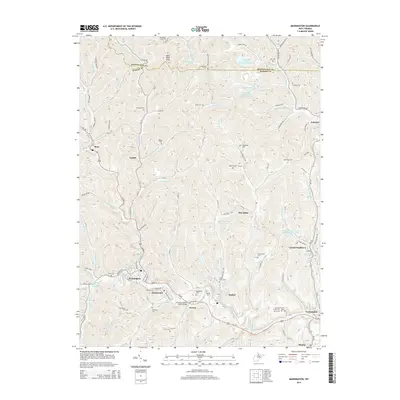
2014 Map of Mannington
USGS Topo · Published 2014About this map
Mannington serves as the focal point for this section of the northern West Virginia coalfields, where the industrial footprint of mining intersects with a landscape dense with family history. The terrain is marked by numerous family burial grounds including Blackshere Cem, Toothman Cem, and Richardson Cem, reflecting the deep ancestral roots of the local communities. The influence of the mining industry is evident in features like the Consol Number Nine Water Supply Lake and the Mod Run Slurry Pond, which speak to the infrastructure required for large-scale operations in the hills above Idamay and Farmington. A complex network of creeks such as Buffalo Creek and Dents Run carves through the topography, with landmarks like the Norville Clinton Shock Bridge and Bake Oven Knob providing orientation points for those tracing the development of Marion County.
Find a feature on this map
136 named features on this map. Tap any name to fly to it.
Don’t see what you’re looking for? This feature index may not catch every label — zoom into the map to look around manually.
Map Details
Editions of this 2014 Mannington Map
This is the sole edition of this map. No revisions or reprints were ever made.
Other maps of this area

1902 · Clarksburg
USGS Topo · 1:62,500

1902 · Fairmont
USGS Topo · 1:62,500

1904 · Blacksville
USGS Topo · 1:62,500

1905 · Mannington
USGS Topo · 1:62,500

1910 · Clarksburg
USGS Topo · 1:62,500

1923 · Blacksville
USGS Topo · 1:62,500

1923 · Fairmont
USGS Topo · 1:62,500

1923 · Mannington
USGS Topo · 1:62,500

1923 · Clarksburg
USGS Topo · 1:62,500

1925 · Blacksville
USGS Topo · 1:62,500