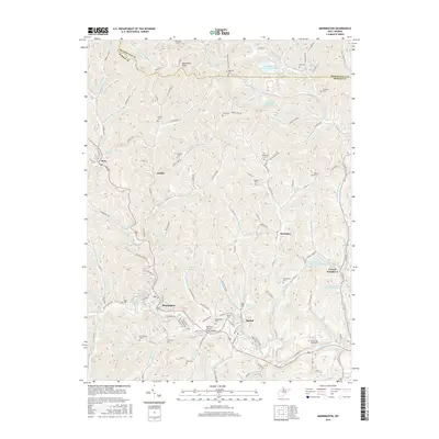
2016 Map of Mannington
USGS Topo · Published 2016About this map
Mannington serves as the primary hub of this north-central West Virginia landscape, situated along the winding course of Buffalo Creek. The region’s industrial character is defined by extensive coal mining infrastructure, visible through the presence of the Loveridge Mine Slurry Impoundment to the north and the Consol Number Nine Water Supply Lake near the settlement of Consol Number 9. Genealogists will find a high density of family burial grounds, including the Barrickman Cem, Toothman Cem, and Meyers Cem, which are scattered among the steep hollows. The transition between Monongalia Co and Marion Co is marked by prominent peaks such as Bake Oven Knob. Small communities like Rachel and Metz are connected by a network of rural roads and water bodies like Dunkard Mill Run, illustrating the enduring settlement patterns of the Appalachian plateau.
Find a feature on this map
122 named features on this map. Tap any name to fly to it.
Don’t see what you’re looking for? This feature index may not catch every label — zoom into the map to look around manually.
Map Details
Editions of this 2016 Mannington Map
This is the sole edition of this map. No revisions or reprints were ever made.
Other maps of this area

1902 · Clarksburg
USGS Topo · 1:62,500

1902 · Fairmont
USGS Topo · 1:62,500

1904 · Blacksville
USGS Topo · 1:62,500

1905 · Mannington
USGS Topo · 1:62,500

1910 · Clarksburg
USGS Topo · 1:62,500

1923 · Blacksville
USGS Topo · 1:62,500

1923 · Fairmont
USGS Topo · 1:62,500

1923 · Mannington
USGS Topo · 1:62,500

1923 · Clarksburg
USGS Topo · 1:62,500

1925 · Blacksville
USGS Topo · 1:62,500