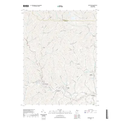
2019 Map of Mannington
USGS Topo · Published 2019About this map
Mannington and its neighboring coal-country settlements define this portion of the northern West Virginia hills, where the landscape is carved by complex drainages like Flaggy Meadow Run and Buffalo Creek. The map documents a landscape heavily influenced by industrial legacy, specifically the energy infrastructure surrounding Consol Number 9 and the Consol Number Nine Water Supply Lake. Family history is deeply rooted in the numerous small burial grounds scattered throughout the hollows, including Toothman Cem, Barrickman Cem, and Beaty Cem. The terrain rises toward Bake Oven Knob in the north, while the southern valleys are marked by the Norville Clinton Shock Bridge and the community of Rachel. This detailed survey offers an modern look at the traditional Appalachian settlement patterns of Marion County, where names like Mahan Run and Pricketts Hollow persist alongside newer landmarks like Sunnyview Acres Rd.
Find a feature on this map
131 named features on this map. Tap any name to fly to it.
Don’t see what you’re looking for? This feature index may not catch every label — zoom into the map to look around manually.
Map Details
Editions of this 2019 Mannington Map
This is the sole edition of this map. No revisions or reprints were ever made.
Other maps of this area

1902 · Clarksburg
USGS Topo · 1:62,500

1902 · Fairmont
USGS Topo · 1:62,500

1904 · Blacksville
USGS Topo · 1:62,500

1905 · Mannington
USGS Topo · 1:62,500

1910 · Clarksburg
USGS Topo · 1:62,500

1923 · Blacksville
USGS Topo · 1:62,500

1923 · Fairmont
USGS Topo · 1:62,500

1923 · Mannington
USGS Topo · 1:62,500

1923 · Clarksburg
USGS Topo · 1:62,500

1925 · Blacksville
USGS Topo · 1:62,500