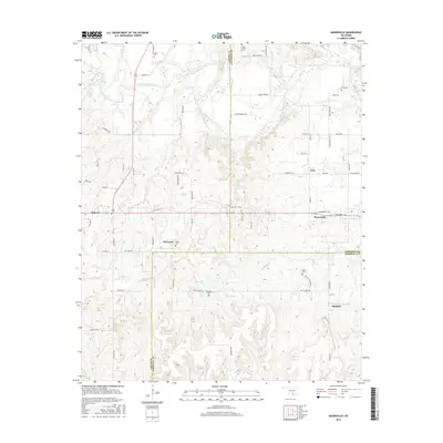
2016 Map of Mannsville
USGS Topo · Published 2016About this map
The Washita River meanders through the heart of this Southern Oklahoma landscape, defining the rural character of Carter, Johnston, and Marshall Counties. The survey captures the transition of the region’s older communities, notably Mannsville and Dickson, as they sit along the primary east-west corridor of Old US Hwy 70. The terrain is marked by numerous small tributaries such as Caddo Creek and Turkey Cr, which feed into the larger river system.
Find a feature on this map
67 named features on this map. Tap any name to fly to it.
Don’t see what you’re looking for? This feature index may not catch every label — zoom into the map to look around manually.
Map Details
Editions of this 2016 Mannsville Map
This is the sole edition of this map. No revisions or reprints were ever made.
Other maps of this area

1901 · Tishomingo
USGS Topo · 1:125,000

1901 · Ardmore
USGS Topo · 1:125,000

1918 · Ardmore
USGS Topo · 1:125,000

1957 · Ardmore
USGS Topo · 1:250,000

1963 · Ardmore
USGS Topo · 1:250,000

1963 · Madill
USGS Topo · 1:24,000

1963 · Mannsville
USGS Topo · 1:24,000

1963 · Troy
USGS Topo · 1:24,000

1963 · Ravia
USGS Topo · 1:24,000

1963 · Mc Millan
USGS Topo · 1:24,000