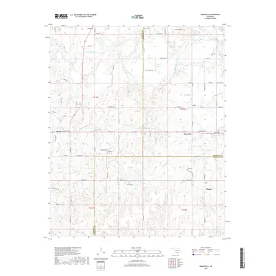
2018 Map of Mannsville
USGS Topo · Published 2018About this map
The Washita River meanders across the borderlands of Carter and Johnston Counties, defining a landscape where rural settlements and ancestral burial grounds are closely linked to the waterway. In the northern reaches, the Thomas Cem and Lone Cedar Cem sit amidst a network of country roads like Greasy Bend Rd. The settlement pattern follows the high ground between the river and its many tributaries, such as Caddo Creek and Oil Cr.
Find a feature on this map
73 named features on this map. Tap any name to fly to it.
Don’t see what you’re looking for? This feature index may not catch every label — zoom into the map to look around manually.
Map Details
Editions of this 2018 Mannsville Map
This is the sole edition of this map. No revisions or reprints were ever made.
Other maps of this area

1901 · Tishomingo
USGS Topo · 1:125,000

1901 · Ardmore
USGS Topo · 1:125,000

1918 · Ardmore
USGS Topo · 1:125,000

1957 · Ardmore
USGS Topo · 1:250,000

1963 · Ardmore
USGS Topo · 1:250,000

1963 · Madill
USGS Topo · 1:24,000

1963 · Mannsville
USGS Topo · 1:24,000

1963 · Troy
USGS Topo · 1:24,000

1963 · Ravia
USGS Topo · 1:24,000

1963 · Mc Millan
USGS Topo · 1:24,000