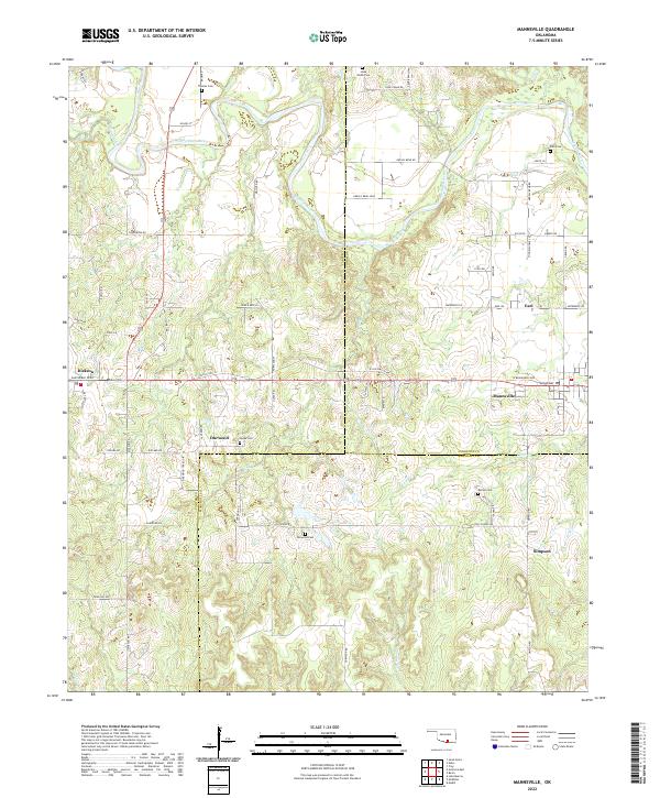
2022 Map of Mannsville
USGS Topo · Published 2022About this map
The Washita River snakes across the northern portion of this landscape, marking a topographically complex area where Johnston, Carter, and Marshall counties converge. The settlement of Mannsville serves as a central hub, situated along a network of historic routes including W Old Hwy 70 Rd and the Sam Noble Pkwy. The map reveals a rural distribution of small communities such as Durwood, Simpson, and Earl, each tied to the land through a series of family and community landmarks. Genealogists will find significant value in the distribution of burial sites, from Thomas Cem near the river bluffs to Rollins Cem and Nelda Cem. The drainage patterns of Caddo Creek and Oil Cr further define the varied terrain, illustrating the traditional relationship between Oklahoma's watercourses and its early township developments.
Find a feature on this map
72 named features on this map. Tap any name to fly to it.
Don’t see what you’re looking for? This feature index may not catch every label — zoom into the map to look around manually.
Map Details
Editions of this 2022 Mannsville Map
This is the sole edition of this map. No revisions or reprints were ever made.
Other maps of this area

1901 · Tishomingo
USGS Topo · 1:125,000

1901 · Ardmore
USGS Topo · 1:125,000

1918 · Ardmore
USGS Topo · 1:125,000

1957 · Ardmore
USGS Topo · 1:250,000

1963 · Ardmore
USGS Topo · 1:250,000

1963 · Madill
USGS Topo · 1:24,000

1963 · Mannsville
USGS Topo · 1:24,000

1963 · Troy
USGS Topo · 1:24,000

1963 · Ravia
USGS Topo · 1:24,000

1963 · Mc Millan
USGS Topo · 1:24,000