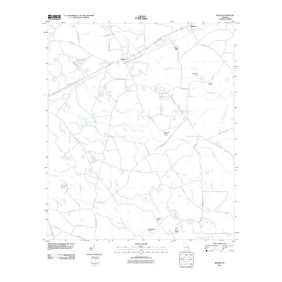
2011 Map of Manor
USGS Topo · Published 2011About this map
Manor serves as the primary hub of this Ware County landscape, situated along the railroad corridor alongside Sand Hill and Glenmore. The geography is defined by a dense network of blackwater drainage systems, where Suwannee Creek and Little Suwannee Creek meander through a series of elevated landforms known locally as islands. These features, including Suwannee Creek Islands and Horseshoe Island, rise above the surrounding wetlands and are connected by a rural road network of named family routes like Buck Corbitt Rd and Henderson Dr.
Find a feature on this map
42 named features on this map. Tap any name to fly to it.
Don’t see what you’re looking for? This feature index may not catch every label — zoom into the map to look around manually.
Map Details
Editions of this 2011 Manor Map
This is the sole edition of this map. No revisions or reprints were ever made.
Other maps of this area

1953 · Waycross
USGS Topo · 1:250,000

1954 · Valdosta
USGS Topo · 1:250,000

1958 · Valdosta
USGS Topo · 1:250,000

1958 · Waycross
USGS Topo · 1:250,000

1959 · Valdosta
USGS Topo · 1:250,000

1966 · Cravens Island
USGS Topo · 1:24,000

1967 · Spooner
USGS Topo · 1:24,000

1967 · Waycross West
USGS Topo · 1:24,000

1967 · Pine Valley
USGS Topo · 1:24,000

1967 · Waycross SW
USGS Topo · 1:24,000