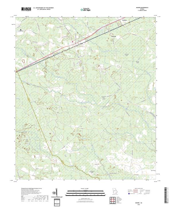
2024 Map of Manor
USGS Topo · Published 2024About this map
The settlement of Manor stands as the primary hub of this south Georgia landscape, situated along a busy corridor of rail and road infrastructure. This 2024 survey captures a terrain defined by complex wetland systems where the Ware Co and Clinch Co line meets. Extensive swampy reaches like Stallard Bay and Big Bay are punctuated by numerous named islands, such as Huckleberry Island and the Suwannee Creek Islands, reflecting a landscape where dry ground is often a distinct and named landmark.
Find a feature on this map
57 named features on this map. Tap any name to fly to it.
Don’t see what you’re looking for? This feature index may not catch every label — zoom into the map to look around manually.
Map Details
Editions of this 2024 Manor Map
This is the sole edition of this map. No revisions or reprints were ever made.
Other maps of this area

1953 · Waycross
USGS Topo · 1:250,000

1954 · Valdosta
USGS Topo · 1:250,000

1958 · Valdosta
USGS Topo · 1:250,000

1958 · Waycross
USGS Topo · 1:250,000

1959 · Valdosta
USGS Topo · 1:250,000

1966 · Cravens Island
USGS Topo · 1:24,000

1967 · Spooner
USGS Topo · 1:24,000

1967 · Waycross West
USGS Topo · 1:24,000

1967 · Pine Valley
USGS Topo · 1:24,000

1967 · Waycross SW
USGS Topo · 1:24,000