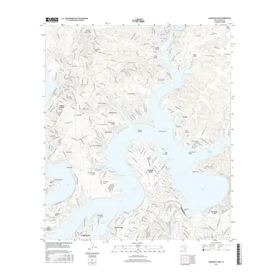
2016 Map of Mansfield Dam
USGS Topo · Published 2016About this map
Mansfield Dam dominates the southern reaches of this landscape, separating the vast waters of Lake Travis from the lower Lake Austin. The topography is defined by the deeply incised limestone drainages of the Texas Hill Country, where numerous hollows such as Devils Hollow and Cottonwood Hollows carve through Post Oak Ridge toward the reservoir. The mid-2010s suburban expansion is evident in the established footprints of Lago Vista, Jonestown, and Lakeway, though local history remains anchored by landmarks like Simpson Cem and the small settlement of Volente. The shoreline is a complex network of peninsulas and points, including Anderson Bend and Hudson Bend, reflecting a landscape heavily modified for water management and recreation. Away from the water, the terrain rises sharply toward Bald Mtn, showcasing the elevation changes characteristic of the Balcones Escarpment region.
Find a feature on this map
49 named features on this map. Tap any name to fly to it.
Don’t see what you’re looking for? This feature index may not catch every label — zoom into the map to look around manually.
Map Details
Editions of this 2016 Mansfield Dam Map
This is the sole edition of this map. No revisions or reprints were ever made.
Other maps of this area

1887 · Blanco
USGS Topo · 1:125,000

1887 · Burnet
USGS Topo · 1:125,000

1893 · Georgetown
USGS Topo · 1:125,000

1893 · Burnet
USGS Topo · 1:125,000

1894 · Blanco
USGS Topo · 1:125,000

1896 · Austin
USGS Topo · 1:125,000

1897 · Austin
USGS Topo · 1:125,000

1903 · Burnet
USGS Topo · 1:125,000

1909 · Burnet
USGS Topo · 1:125,000

1910 · Austin
USGS Topo · 1:125,000