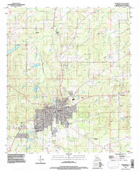
1994 Map of Mansfield
USGS Topo · Published 1997About this map
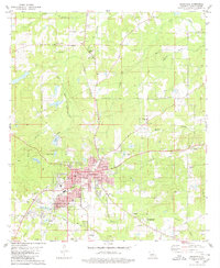
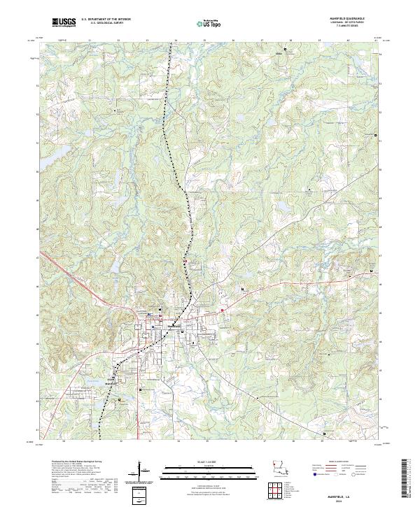
The Mansfield Battle Memorial Park anchors the southeast corner of this study, marking a significant historical landscape just outside the growing municipal limits of Mansfield. As of the mid-1990s, the area reflects a mix of modern infrastructure and the original bayou-driven drainage patterns that have long defined De Soto Parish. The town center is surrounded by satellite settlements like South Mansfield and New Rockdale, while the outer landscape is characterized by a dense network of watercourses including Bayou Na Bonchasse, Buffalo Bayou, and Fourmile Bayou. These waterways, interspersed with family-named sites such as Allen Cem, illustrate the enduring rural character of the region. Local industry and utility are evidenced by various Gravel Pit sites, a Sewage Disposal Pond, and a Gaging Station on the bayou, showing how the local terrain has been managed for post-war development.
Find a feature on this map
26 named features on this map. Tap any name to fly to it.
Don’t see what you’re looking for? This feature index may not catch every label — zoom into the map to look around manually.
Map Details
Editions of this 1994 Mansfield Map
This is the sole edition of this map. No revisions or reprints were ever made.
Historical Maps of Mansfield Through Time
10 maps found
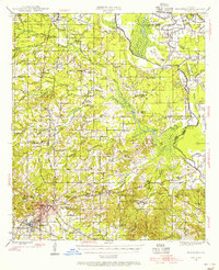
1945 Mansfield
De Soto Parish, LA
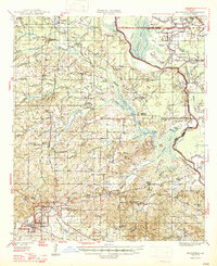
1947 Mansfield
De Soto Parish, LA
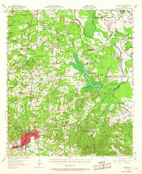
1957 Mansfield
De Soto Parish, LA
1980 Mansfield
De Soto Parish, LA
1994 Mansfield
De Soto Parish, LA
2012 Mansfield
De Soto Parish, LA
2015 Mansfield
De Soto Parish, LA
2018 Mansfield
De Soto Parish, LA
2020 Mansfield
De Soto Parish, LA
2024 Mansfield
De Soto Parish, LA