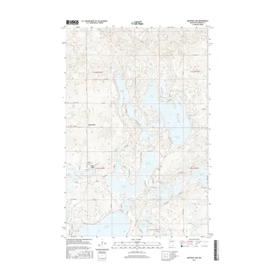
2016 Map of Mantrap Lake
USGS Topo · Published 2016About this map
Mantrap Lake and its intricate shoreline dominate this portion of Hubbard County, illustrating a landscape defined by the complex glacial topography of northern Minnesota. The settlement of Emmaville sits at the junction of CO Hwy 4 and Co 24, serving as a central point for the surrounding recreation and residential areas. To the south, the clear division between Upper Bottle Lake and Lower Bottle Lake is visible, connected by narrow waterways that characterize this chain-of-lakes region.
Find a feature on this map
81 named features on this map. Tap any name to fly to it.
Don’t see what you’re looking for? This feature index may not catch every label — zoom into the map to look around manually.
Map Details
Editions of this 2016 Mantrap Lake Map
This is the sole edition of this map. No revisions or reprints were ever made.
Other maps of this area

1953 · Brainerd
USGS Topo · 1:250,000

1954 · Bemidji
USGS Topo · 1:250,000

1957 · Brainerd
USGS Topo · 1:250,000

1957 · Bemidji
USGS Topo · 1:250,000

1958 · Bemidji
USGS Topo · 1:250,000

1958 · Brainerd
USGS Topo · 1:250,000

1965 · Brainerd
USGS Topo · 1:250,000

1969 · Park Rapids
USGS Topo · 1:24,000

1970 · Nevis
USGS Topo · 1:24,000

1970 · Dorset
USGS Topo · 1:24,000