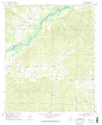
1970 Map of Mantua
USGS Topo · Published 1972About this map
The Sipsey River meanders across the boundary of Pickens and Greene Counties, defining a landscape shaped by bottomlands and the relic infrastructure of the Old Grade Railroad. This 1970 field-checked survey reveals a rural settlement pattern centered on several small communities including Benevola and Mantua. The map is particularly valuable for genealogical research, documenting numerous country churches and burial sites such as Mt Moriah Ch, Cumberland Ch, and Mt Zion Ch. Along the river, features like Longview Landing Strip and a Boat Ramp indicate the local reliance on the waterway for both transport and recreation. The upland areas are drained by a network of creeks, including Brush Creek and Carpenters Creek, which cut through the undulating terrain south of the river valley.
Find a feature on this map
28 named features on this map. Tap any name to fly to it.
Don’t see what you’re looking for? This feature index may not catch every label — zoom into the map to look around manually.
Map Details
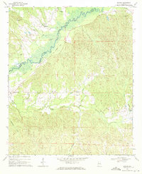
Editions of this 1970 Mantua Map
2 editions found
Other maps of this area

1927 · Eutaw
USGS Topo · 1:48,000

1931 · Eutaw
USGS Topo · 1:62,500

1953 · Montgomery
USGS Topo · 1:250,000

1953 · Birmingham
USGS Topo · 1:250,000

1953 · Meridian
USGS Topo · 1:250,000

1953 · West Point
USGS Topo · 1:250,000

1956 · Birmingham
USGS Topo · 1:250,000

1956 · Montgomery
USGS Topo · 1:250,000

1957 · Birmingham
USGS Topo · 1:250,000

1957 · Meridian
USGS Topo · 1:250,000