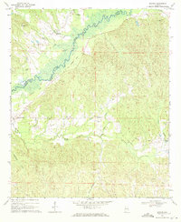
1970 Map of Mantua
USGS Topo · Published 1972About this map
The Sipsey River defines the western edge of this 1970 landscape, winding through a bottomland terrain marked by an abandoned Old Railroad Grade. Small agrarian settlements like Benevola and Mantua serve as the primary hubs, each characterized by a high concentration of community churches including Mt Zion Ch, Cumberland Ch, and Bethesda Ch. The presence of numerous small church sites like Hebron Ch and Union Ch scattered across the creek-fed hills suggests a deeply rooted local genealogy.
Find a feature on this map
23 named features on this map. Tap any name to fly to it.
Don’t see what you’re looking for? This feature index may not catch every label — zoom into the map to look around manually.
Map Details
Editions of this 1970 Mantua Map
2 editions found
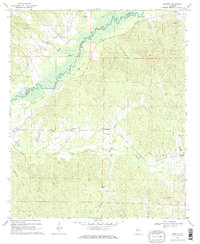
Other maps of this area

1927 · Eutaw
USGS Topo · 1:48,000

1931 · Eutaw
USGS Topo · 1:62,500

1953 · Montgomery
USGS Topo · 1:250,000

1953 · Birmingham
USGS Topo · 1:250,000

1953 · Meridian
USGS Topo · 1:250,000

1953 · West Point
USGS Topo · 1:250,000

1956 · Birmingham
USGS Topo · 1:250,000

1956 · Montgomery
USGS Topo · 1:250,000

1957 · Birmingham
USGS Topo · 1:250,000

1957 · Meridian
USGS Topo · 1:250,000