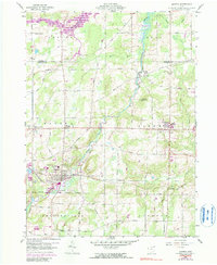
1959 Map of Mantua
USGS Topo · Published 1990About this map
The Cuyahoga River meanders through this landscape, defining the character of north-central Portage County as it flows past Hiram Rapids and Mantua. This 1950s survey captures a transition in the region's infrastructure, where the Erie-Lackawanna railroad skirts the riverbank near a significant industrial Tank Farm. To the east, the academic presence of Hiram College anchors the hilltops, while the northwestern corner is dominated by the Akron City Reservoir. Local history is deeply etched into the township lines, including portions of Auburn, Troy, and Shalersville, all within the historic Connecticut Western Reserve. Notable community landmarks such as Crestwood High Sch and the Hillside Cem provide essential reference points for genealogists and local historians tracking the growth of these Ohio settlements.
Find a feature on this map
56 named features on this map. Tap any name to fly to it.
Don’t see what you’re looking for? This feature index may not catch every label — zoom into the map to look around manually.
Map Details
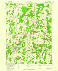
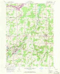
Editions of this 1959 Mantua Map
3 editions found
Other maps of this area

1905 · Garrettsville
USGS Topo · 1:62,500

1906 · Kent
USGS Topo · 1:62,500

1906 · Chagrin Falls
USGS Topo · 1:62,500

1906 · Ravenna
USGS Topo · 1:62,500

1907 · Garrettsville
USGS Topo · 1:62,500

1908 · Chagrin Falls
USGS Topo · 1:62,500

1908 · Ravenna
USGS Topo · 1:62,500

1950 · Cleveland
USGS Topo · 1:250,000

1953 · South Russell
USGS Topo · 1:24,000

1953 · Aurora
USGS Topo · 1:24,000