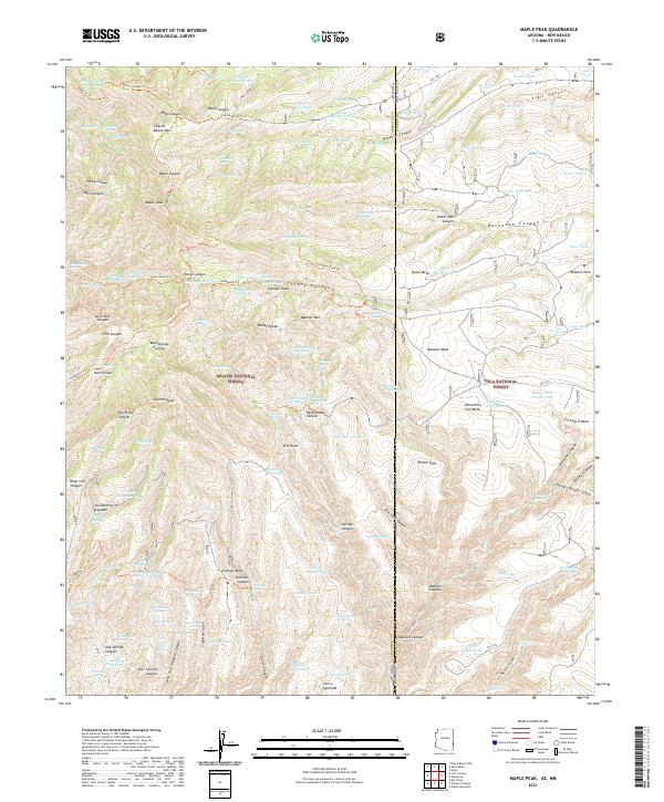
2021 Map of Maple Peak
USGS Topo · Published 2021About this map
Apache National Forest and Gila National Forest converge at the Arizona-New Mexico state line in this topographic study of a high-altitude wilderness. This map is defined by a series of prominent summits including Maple Peak, Charlie Moore Mtn, and Bullard Peak, which overlook a complex network of canyons and draws. The landscape reveals a reliance on water management in this arid terrain, marked by numerous storage tanks such as Banjo Tank, Liza Tank, and the curiously named Do Nothing Tank.
Find a feature on this map
156 named features on this map. Tap any name to fly to it.
Don’t see what you’re looking for? This feature index may not catch every label — zoom into the map to look around manually.
Map Details
Editions of this 2021 Maple Peak Map
This is the sole edition of this map. No revisions or reprints were ever made.
Other maps of this area

1910 · Mogollon
USGS Topo · 1:125,000

1912 · Mogollon
USGS Topo · 1:125,000

1913 · Morenci
USGS Topo · 1:125,000

1915 · Morenci
USGS Topo · 1:125,000

1954 · Clifton
USGS Topo · 1:250,000

1957 · Clifton
USGS Topo · 1:250,000

1958 · Clifton
USGS Topo · 1:250,000

1962 · Clifton
USGS Topo · 1:250,000

1962 · Big Lue Mts
USGS Topo · 1:62,500
1963 · Alma
USGS Topo · 1:24,000