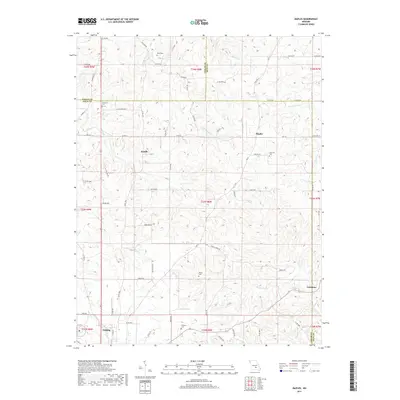
2017 Map of Maples
USGS Topo · Published 2017About this map
Sherrill Cr and its southern branch, S Sherrill Cr, carve through the center of this landscape where Texas, Phelps, and Dent counties meet. The area is defined by a series of small, dispersed settlements including Kimble, Maples, and Coulstone, with the more developed northern edge of Licking appearing in the southwest corner. The map reflects a predominantly rural character with a network of county roads like Hwy CC and State Hwy C connecting these communities.
Find a feature on this map
79 named features on this map. Tap any name to fly to it.
Don’t see what you’re looking for? This feature index may not catch every label — zoom into the map to look around manually.
Map Details
Editions of this 2017 Maples Map
This is the sole edition of this map. No revisions or reprints were ever made.
Other maps of this area

1932 · Cedar Grove
USGS Topo · 1:48,000

1937 · Edgar Springs
USGS Topo · 1:48,000

1941 · Salem
USGS Topo · 1:62,500

1945 · Salem
USGS Topo · 1:62,500

1945 · Edgar Springs
USGS Topo · 1:62,500

1949 · Rolla
USGS Topo · 1:250,000

1951 · Montauk
USGS Topo · 1:24,000

1951 · Licking
USGS Topo · 1:24,000

1951 · Prescott
USGS Topo · 1:24,000

1951 · Raymondville
USGS Topo · 1:62,500