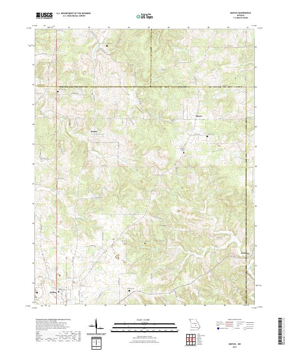
2021 Map of Maples
USGS Topo · Published 2021About this map
Licking stands at the southern edge of this Ozark plateau landscape, where the headwaters of several significant creek systems originate. The terrain is defined by the dendritic drainage patterns of Little Piney Cr and Sherrill Cr, which carve through the high ground of Texas, Dent, and Phelps Counties. Smaller settlements like Kimble, Maples, and Coulstone are connected by a network of county roads, such as Co RD CC and State Hwy CC, reflecting the rural development of the region.
Find a feature on this map
74 named features on this map. Tap any name to fly to it.
Don’t see what you’re looking for? This feature index may not catch every label — zoom into the map to look around manually.
Map Details
Editions of this 2021 Maples Map
This is the sole edition of this map. No revisions or reprints were ever made.
Other maps of this area

1932 · Cedar Grove
USGS Topo · 1:48,000

1937 · Edgar Springs
USGS Topo · 1:48,000

1941 · Salem
USGS Topo · 1:62,500

1945 · Salem
USGS Topo · 1:62,500

1945 · Edgar Springs
USGS Topo · 1:62,500

1949 · Rolla
USGS Topo · 1:250,000

1951 · Montauk
USGS Topo · 1:24,000

1951 · Licking
USGS Topo · 1:24,000

1951 · Prescott
USGS Topo · 1:24,000

1951 · Raymondville
USGS Topo · 1:62,500