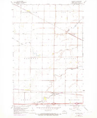
1961 Map of Mapleton
USGS Topo · Published 1973About this map
The Maple River and Rush River wind across this Cass County landscape, defining the agricultural and transport patterns of the early 1960s. The Burlington Northern railroad serves as the primary corridor for commerce, connecting the grain-handling centers of Mapleton, Prosper, and Newman. While much of the land is organized into the townships of Berlin, Harmony, Raymond, and Durbin, smaller community hubs like the Townhall and the Mapleton Cem provide clear markers for genealogical research and local history.
Find a feature on this map
17 named features on this map. Tap any name to fly to it.
Don’t see what you’re looking for? This feature index may not catch every label — zoom into the map to look around manually.
Map Details
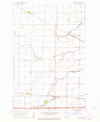
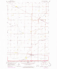
Editions of this 1961 Mapleton Map
3 editions found
Other maps of this area

1895 · Fargo
USGS Topo · 1:125,000

1895 · Casselton
USGS Topo · 1:125,000

1897 · Fargo
USGS Topo · 1:125,000

1897 · Casselton
USGS Topo · 1:125,000

1952 · Grand Forks
USGS Topo · 1:250,000

1953 · Fargo
USGS Topo · 1:250,000

1956 · Fargo
USGS Topo · 1:250,000

1956 · Grand Forks
USGS Topo · 1:250,000

1959 · South West Fargo
USGS Topo · 1:24,000

1959 · West Fargo
USGS Topo · 1:24,000