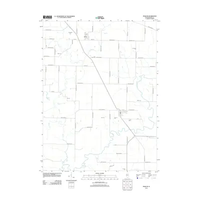
2012 Map of Maquon
USGS Topo · Published 2012About this map
The Spoon River carves a winding path through this Knox County landscape, defining the local geography around the settlement of Gilson. A remarkably dense concentration of family and community burial grounds, including McCallister Cem, Ouderkirk Cem, and Housh Cem, provides a detailed record of the area's ancestral heritage. The rural grid is established by an extensive network of secondary roads, such as Knox Road 1000 N and Knox Highway 20, which connect disparate homesteads to the river valley and the smaller tributaries like Haw Cr and Little Haw Cr. The southern portion of the map features the notable Horseshoe Lake, a significant oxbow feature alongside the primary river channel. This survey documents a quiet agricultural region where the historical placement of cemeteries like Clark Chapel Cem and Maquon Cem preserves the layout of long-established prairie neighborhoods.
Find a feature on this map
55 named features on this map. Tap any name to fly to it.
Don’t see what you’re looking for? This feature index may not catch every label — zoom into the map to look around manually.
Map Details
Editions of this 2012 Maquon Map
This is the sole edition of this map. No revisions or reprints were ever made.
Other maps of this area

1912 · Canton
USGS Topo · 1:62,500

1915 · Avon
USGS Topo · 1:62,500

1925 · Galesburg
USGS Topo · 1:62,500

1927 · Galesburg
USGS Topo · 1:62,500

1941 · Maquon
USGS Topo · 1:62,500

1943 · Maquon
USGS Topo · 1:62,500

1944 · Avon
USGS Topo · 1:62,500

1958 · Burlington
USGS Topo · 1:250,000

1961 · Burlington
USGS Topo · 1:250,000

1963 · Burlington
USGS Topo · 1:250,000