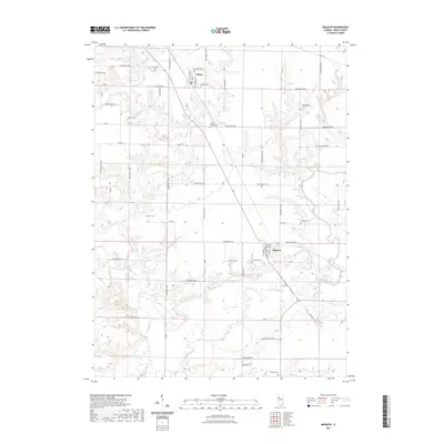
2021 Map of Maquon
USGS Topo · Published 2021About this map
The Spoon River meanders across the southern portion of this Illinois landscape, creating a complex series of oxbows and riparian wetlands near the village of Maquon. North of the river, the village of Gilson sits amidst a grid of rural routes including Knox Highway 21 and Knox Road 1000 N. The density of small family and community burial grounds is striking, with sites like Mc Callister Cem, Harshbarger Cem, and Ouderkirk Cem scattered throughout the farmland. Waterways such as Haw Creek and Flea Cr drain the central and southern reaches of the quadrangle. The map reveals a deeply established agrarian settlement pattern where individual landmarks like Horseshoe Lake and Taylor Lake break the rhythmic geometry of the section roads.
Find a feature on this map
71 named features on this map. Tap any name to fly to it.
Don’t see what you’re looking for? This feature index may not catch every label — zoom into the map to look around manually.
Map Details
Editions of this 2021 Maquon Map
This is the sole edition of this map. No revisions or reprints were ever made.
Other maps of this area

1912 · Canton
USGS Topo · 1:62,500

1915 · Avon
USGS Topo · 1:62,500

1925 · Galesburg
USGS Topo · 1:62,500

1927 · Galesburg
USGS Topo · 1:62,500

1941 · Maquon
USGS Topo · 1:62,500

1943 · Maquon
USGS Topo · 1:62,500

1944 · Avon
USGS Topo · 1:62,500

1958 · Burlington
USGS Topo · 1:250,000

1961 · Burlington
USGS Topo · 1:250,000

1963 · Burlington
USGS Topo · 1:250,000