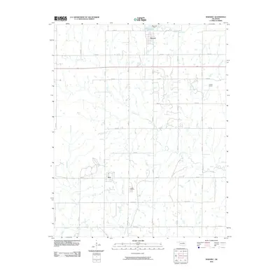
2010 Map of Maramec
USGS Topo · Published 2010About this map
Maramec and Quay serve as the primary focal points of this northeastern Oklahoma landscape during the early 2000s. The northern portion of the region is defined by the waters of Maramec Lake, held by the Maramec Dam, which feeds into the local drainage system including West Branch Ranch Creek. The area's rural character is underscored by a structured grid of section line roads, such as Lakeview Rd and Quay Rd, which connect dispersed homesteads and agricultural tracts.
Find a feature on this map
30 named features on this map. Tap any name to fly to it.
Don’t see what you’re looking for? This feature index may not catch every label — zoom into the map to look around manually.
Map Details
Editions of this 2010 Maramec Map
This is the sole edition of this map. No revisions or reprints were ever made.
Other maps of this area

1929 · Yale
USGS Topo · 1:62,500

1929 · Ripley
USGS Topo · 1:62,500

1929 · Skedee
USGS Topo · 1:62,500

1930 · Pawnee
USGS Topo · 1:62,500

1931 · Skedee
USGS Topo · 1:62,500

1932 · Yale
USGS Topo · 1:62,500

1932 · Ripley
USGS Topo · 1:62,500

1936 · Pawnee
USGS Topo · 1:62,500

1955 · Enid
USGS Topo · 1:250,000

1958 · Enid
USGS Topo · 1:250,000