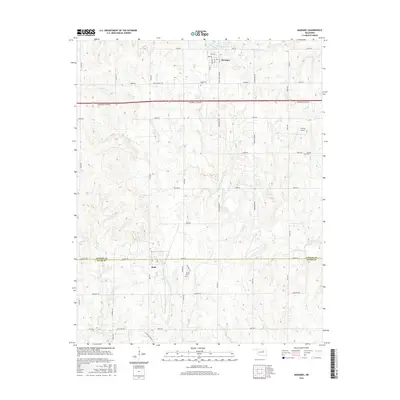
2016 Map of Maramec
USGS Topo · Published 2016About this map
Maramec sits in the northern section of this landscape, its residential grid defined by streets like Maple St and Hickory St near the shores of Maramec Lake. The area's rural character is further shaped by the Cimarron Turnpike, which cuts an east-west path through the rolling terrain of Pawnee and Payne Counties. To the south, the settlement of Quay serves as a secondary focal point, surrounded by agricultural sections and family-named roads such as Lone Chimney Rd and Cedar Tree Corner.
Find a feature on this map
53 named features on this map. Tap any name to fly to it.
Don’t see what you’re looking for? This feature index may not catch every label — zoom into the map to look around manually.
Map Details
Editions of this 2016 Maramec Map
This is the sole edition of this map. No revisions or reprints were ever made.
Other maps of this area

1929 · Yale
USGS Topo · 1:62,500

1929 · Ripley
USGS Topo · 1:62,500

1929 · Skedee
USGS Topo · 1:62,500

1930 · Pawnee
USGS Topo · 1:62,500

1931 · Skedee
USGS Topo · 1:62,500

1932 · Yale
USGS Topo · 1:62,500

1932 · Ripley
USGS Topo · 1:62,500

1936 · Pawnee
USGS Topo · 1:62,500

1955 · Enid
USGS Topo · 1:250,000

1958 · Enid
USGS Topo · 1:250,000