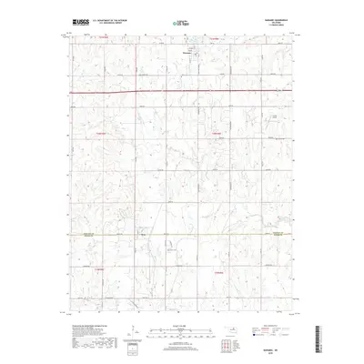
2018 Map of Maramec
USGS Topo · Published 2018About this map
Maramec serves as the primary hub of this landscape in the northeastern corner, where a grid of streets including Maple St, Oak St, and Ash St defines the small town's footprint. The boundary between Pawnee Co and Payne Co runs horizontally through the center of the survey, passing directly through the community of Quay. This alignment reflects the historical division of agricultural lands and local jurisdictions in central Oklahoma.
Find a feature on this map
56 named features on this map. Tap any name to fly to it.
Don’t see what you’re looking for? This feature index may not catch every label — zoom into the map to look around manually.
Map Details
Editions of this 2018 Maramec Map
This is the sole edition of this map. No revisions or reprints were ever made.
Other maps of this area

1929 · Yale
USGS Topo · 1:62,500

1929 · Ripley
USGS Topo · 1:62,500

1929 · Skedee
USGS Topo · 1:62,500

1930 · Pawnee
USGS Topo · 1:62,500

1931 · Skedee
USGS Topo · 1:62,500

1932 · Yale
USGS Topo · 1:62,500

1932 · Ripley
USGS Topo · 1:62,500

1936 · Pawnee
USGS Topo · 1:62,500

1955 · Enid
USGS Topo · 1:250,000

1958 · Enid
USGS Topo · 1:250,000