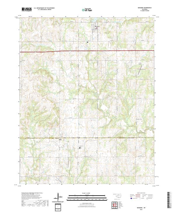
2022 Map of Maramec
USGS Topo · Published 2022About this map
Maramec serves as the primary focal point of this Oklahoma survey, situated at the intersection of a grid of section roads in northern Pawnee County. The landscape is defined by the headwaters and branches of Lagoon Cr, Mud Cr, and Ranch Cr, which carve subtle drainage patterns through the agricultural terrain. To the south, the settlement of Quay sits directly on the border between Pawnee and Payne counties, marked by the path of Airport Rd. Local history and genealogy are anchored by specific landmarks such as the I.O.O.F. Cem near the town center and the Lawson Cem further south. The presence of Crystal Airport and rural landmarks like Cedar Tree Corner reflect the modern infrastructure of this rural corridor, where the legacy of early land divisions remains visible in the road network including Lone Chimney Rd.
Find a feature on this map
53 named features on this map. Tap any name to fly to it.
Don’t see what you’re looking for? This feature index may not catch every label — zoom into the map to look around manually.
Map Details
Editions of this 2022 Maramec Map
This is the sole edition of this map. No revisions or reprints were ever made.
Other maps of this area

1929 · Yale
USGS Topo · 1:62,500

1929 · Ripley
USGS Topo · 1:62,500

1929 · Skedee
USGS Topo · 1:62,500

1930 · Pawnee
USGS Topo · 1:62,500

1931 · Skedee
USGS Topo · 1:62,500

1932 · Yale
USGS Topo · 1:62,500

1932 · Ripley
USGS Topo · 1:62,500

1936 · Pawnee
USGS Topo · 1:62,500

1955 · Enid
USGS Topo · 1:250,000

1958 · Enid
USGS Topo · 1:250,000